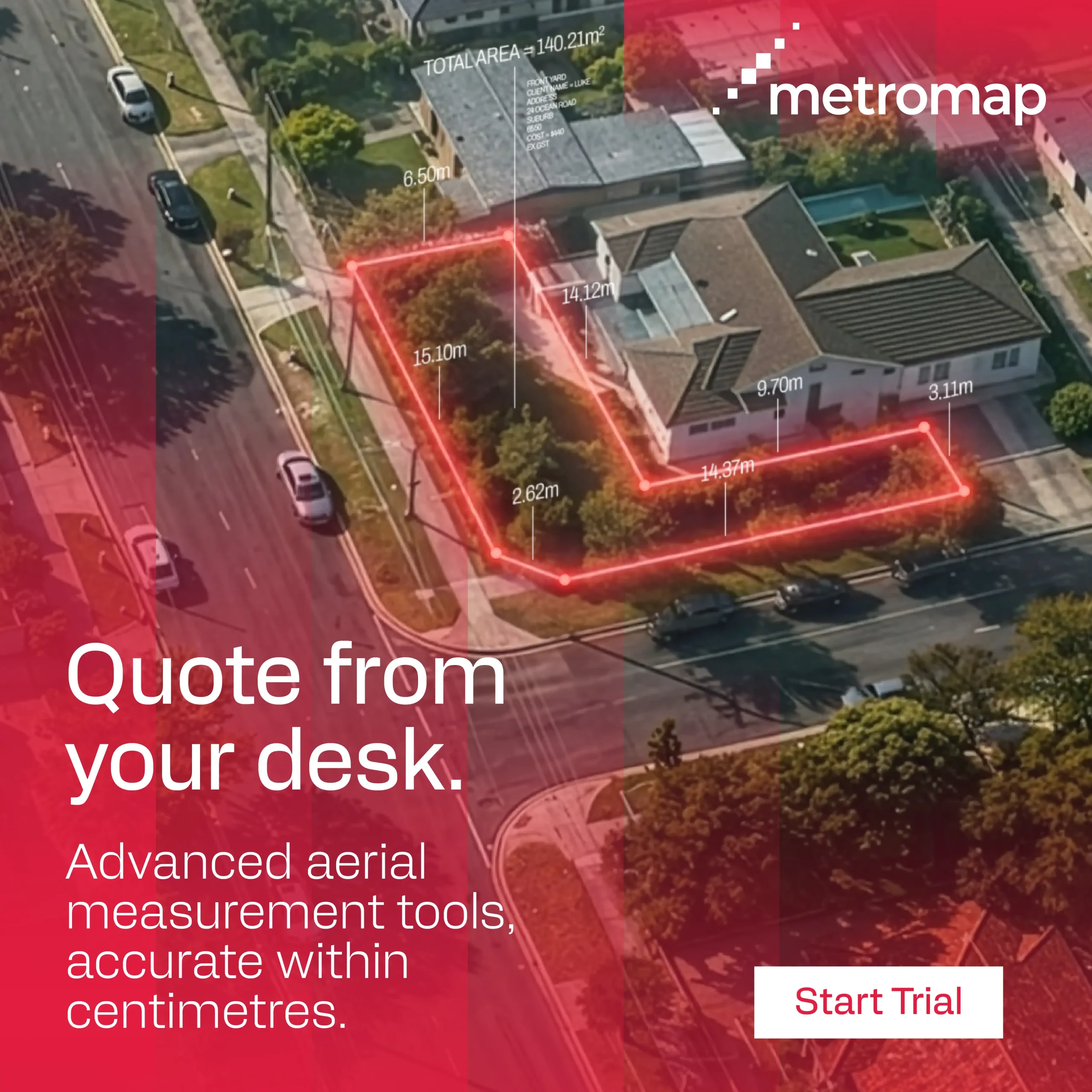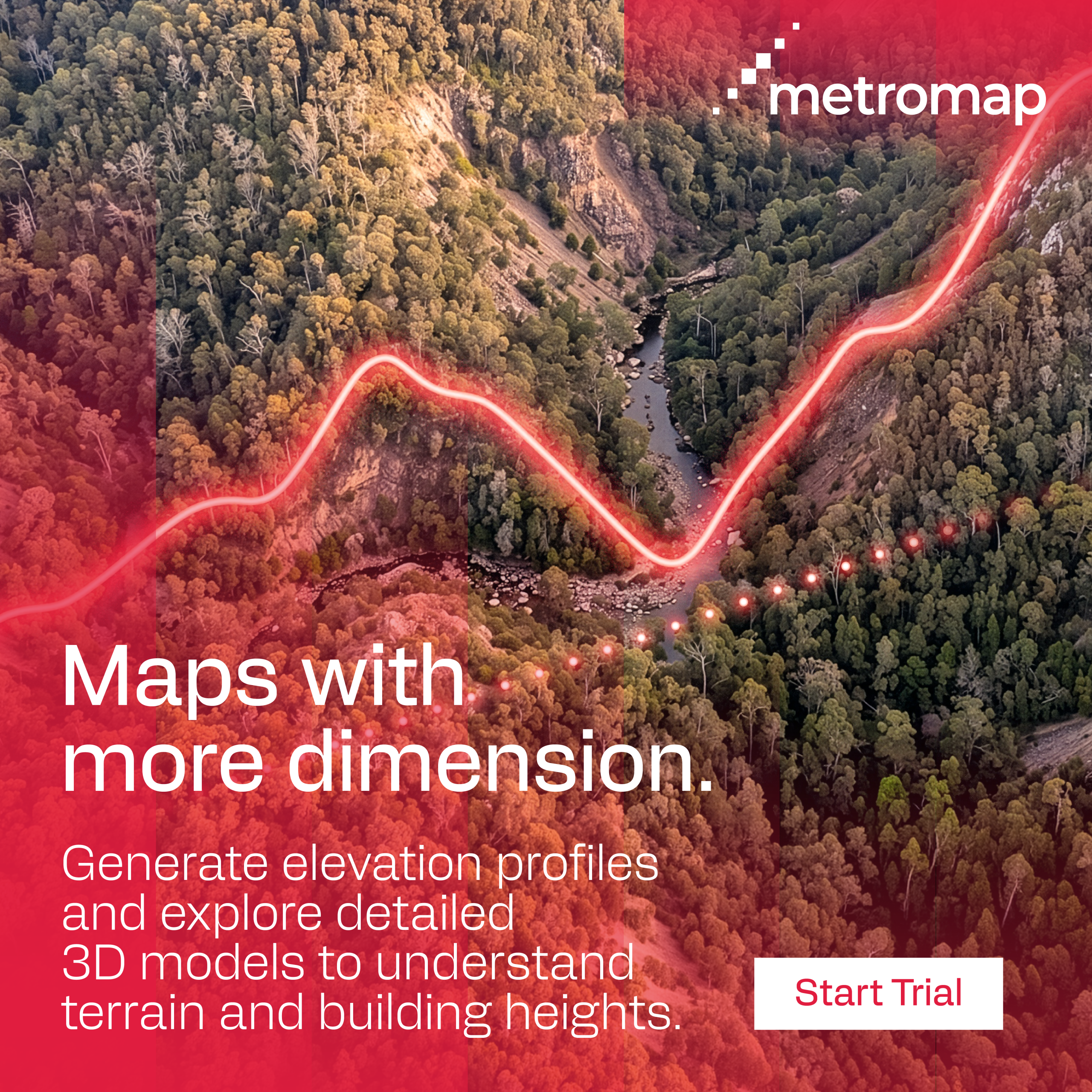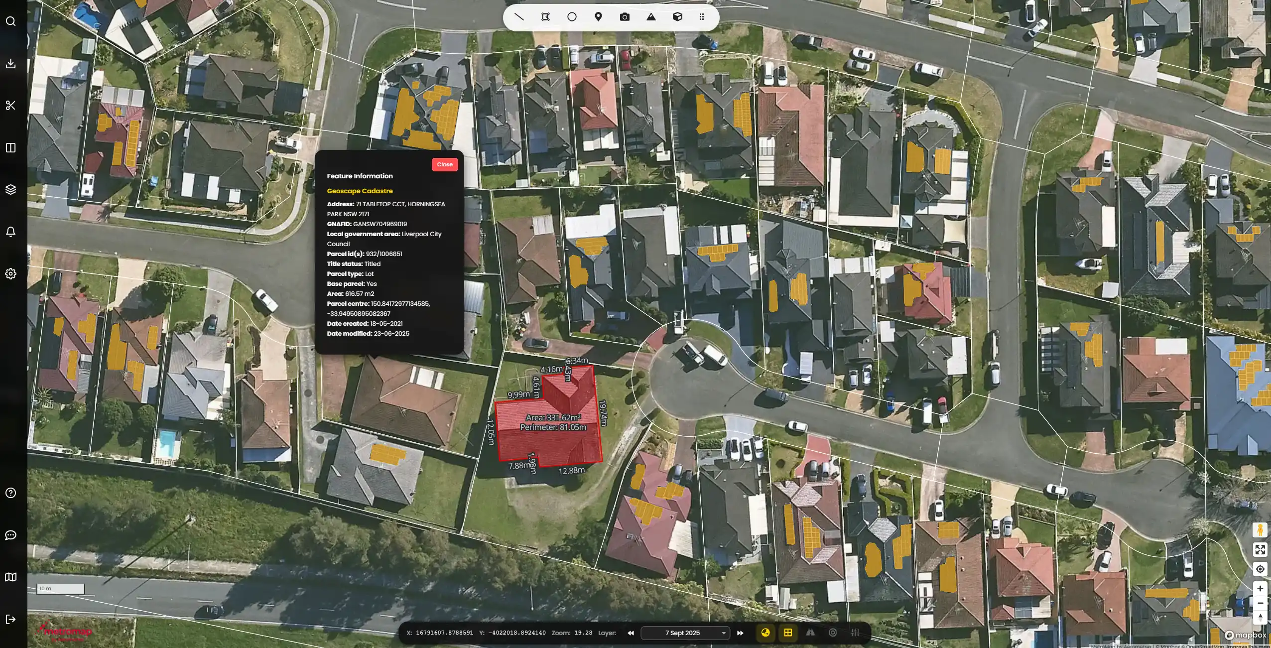
Get a comprehensive view on site before you take the job. Check access, measure accurately within centimetres and understand the terrain, without leaving the office. Save time, cut fuel costs and ensure effective, thorough quoting.
MetroMap is an Australian-owned and operated aerial imagery platform built to supercharge your quoting and planning process, so you can save the travel for when the job actually starts.
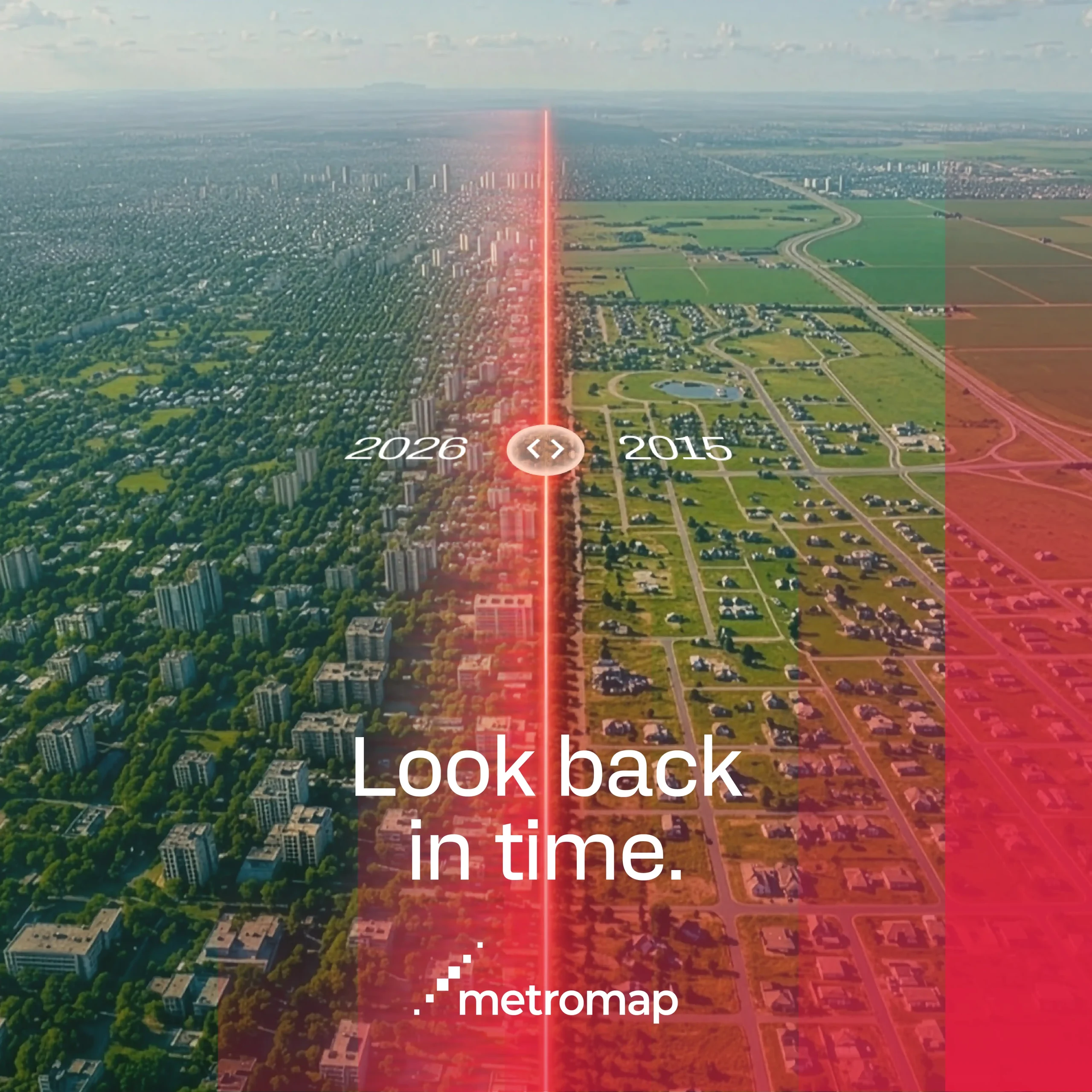
Metro areas are captured up to 6x a year, regional up to 4x and rural up to 2x annually, covering 94% of the Australian population so your imagery is always current.
No data caps on Pro and Team plans, with a full suite of tools to measure distance, elevation, structure height and more.